 |
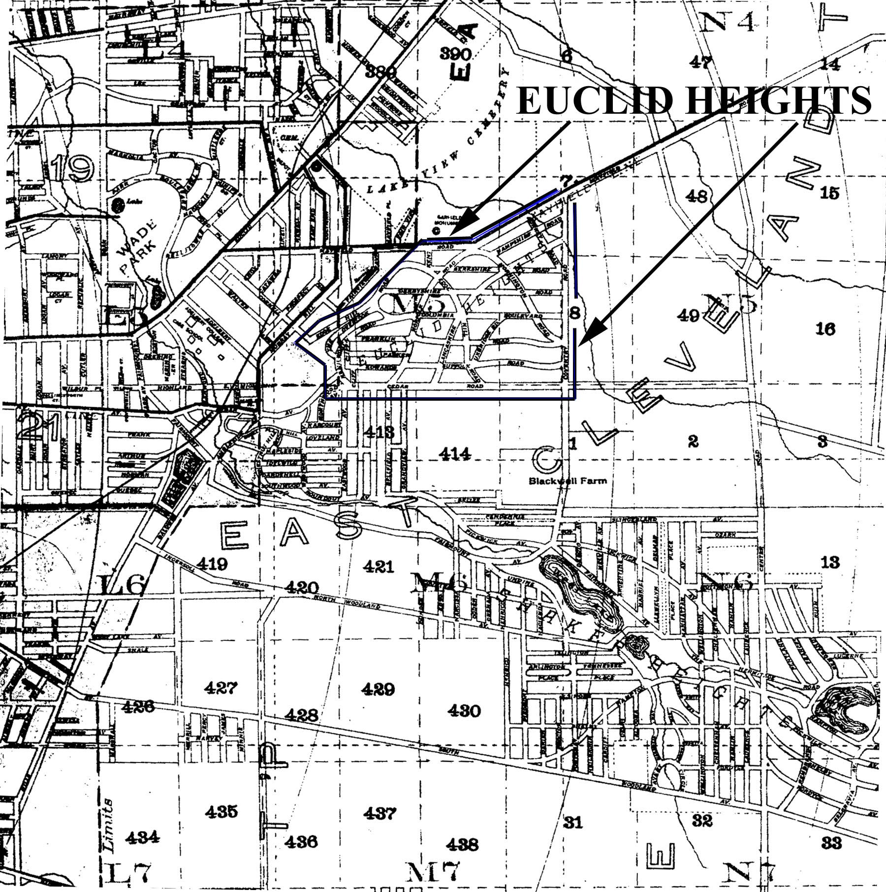
| Figure 10 - Map showing location of Euclid Heights Allotment (outline added) in relation to Wade Park, Case School, Western Reserve University, Lake View Cemetery and Shaker Heights. Note Garfield Monument immediately to the left of the upper arrowhead. Notice also that a development is shown on the western half of Hundred Acre Lot 413, which was part of the Euclid Club's golf course until 1898 (adapted from Stranahan's Map of Cleveland and Vicinity, 1893). |