 |
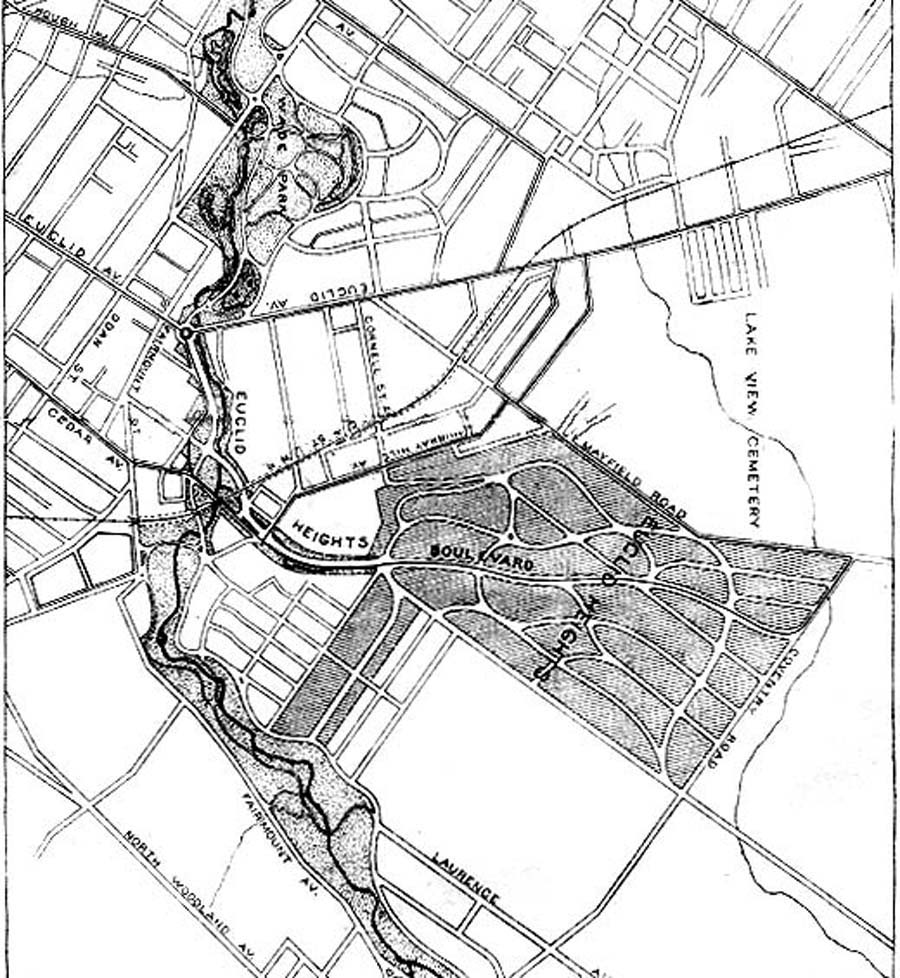
| Figure 13 - A detail from E. W. Bowditch's 1896 map of the park system along Doan's Brook, showing how Calhoun's donation of land for the University Circle also provided a parkway entrance to his Euclid Heights Allotment. As Euclid Heights Boulevard would have a streetcar line running on it, this map shows the intimate relationship between the allotment and the infrastructure of parks and transportation. |