|
WALL MAPS
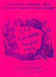 |
Blackmore, Harris H., Map of Cuyahoga County, Ohio: Collected from the most accurate surveys from the first settlement to the present period, Stoddart & Everett, Cleveland, Ohio, 1852. Reprinted in 1975 in Cuyahoga County 1852 Landowners Map Index, pictured left. In 1852 this was not published as an atlas, but rather as a huge wall map of the style popular in mid-century. In 1975, an index to the landowners' names appearing on that map was published as a U.S. Bicentennial project, by the Greater Cleveland Genealogical Society. The wall map, cut into convenient views of each township, was reproduced in black and white and appended at the end. This index and map of 1852 has been a useful tool for many house-hunters and genealogists, as it furnishes landowners' names in most of Cuyahoga County outside of the city of Cleveland. |
|
|
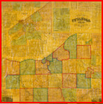
Hopkins, G.M., Map of Cuyahoga County, Ohio: from actual surveys ... , S. H. Mathews, publisher, Philadelphia, Pennsylvania. |
|
| Following these two county/township wall maps, subsequent wall maps were published by the same firms that were producing City Directory Maps and Early Atlases. |
BACK to the Cleveland Cartography home page
First created December 15, 2008
Updated September 4, 2012
© Copyright 1996-2012 by William C. Barrow
|