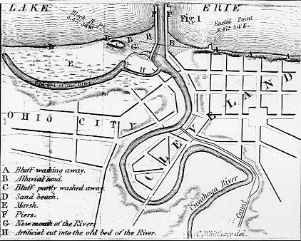
Charles Whittlesey drew this map
|
||||
|
|
||||
|
Map image courtesy of Richard Morgan and the Morgan Library of Ohio Imprints. From: First Annual Report on the Geological Survey of the State of Ohio. By W.W. Mather, Principal Geologist, and the Several Assistants. 1838. Document No. 26. For another map showing Whittlesey's lakefront notions, see Kelley's Map of 1814 BACK to "firsts" page June 21, 2003 ã Copyright 1996-2003 by William C. Barrow
|
||||